
Understanding the carbon cycle and determining its sources and sinks, is currently one of the most challenging tasks within climate research. For many decades in-situ surface based networks were the only observations available. Sparse aircraft campaigns yielded important additional measurements, but overall the atmosphere was sampled non-uniformly, and for many regions no data exist. Throughout the last decade remote sensing observations from satellites allowed covering the whole earth. Satellite observations working in nadir, and detecting the scattered sunlight in the near-infrared spectral region (NIR), have been established as the most powerful method to create global maps of greenhouse gases concentrations. Analysing the measured spectra yields the total column concentrations of the trace gases of interest.
Since the whole atmospheric column is sampled, nadir looking satellites form an important scientific additional observation type to the in-situ networks, observing the surface concentrations. Compared to a validation by in-situ surface measurements, total column observations are much less sensitive to boundary layer effects, making it an optimal validation tool for satellite remote sensing observations.
Space based satellites require an accurate validation by appropriate observations from the ground, balloon, aircraft, or other validated satellites. Most important are observations that sample the atmosphere in a comparable way as the satellites. The best validation method should also measure total column concentrations. Solar absorption measurements from the ground sample the atmosphere in a comparable way. While satellites look vertically down, the ground-based observations look up at its solar zenith angle, thus, sampling the atmosphere in a comparable way. Furthermore, the validation sites should ideally work in the same spectral region, to insure the same dependency on the input spectral data. This minimizes potential biases, caused by erroneous spectral data. Furthermore, the ground-based data can be validated against accepted standard measurements, like the in-situ measurements from WMO.
Due to the extreme accuracy requirements for all these satellite missions, the validation of the satellite derived greenhouse gas (GHG) products by independent means constitutes a fundamental part of the overall observation system. The current state-of-the-art validation system for GHGs is the Total Carbon Column Observing Network (TCCON).

TCCON is a network of ground-based Fourier Transform Spectrometers that record direct solar spectra in the near-infrared allowing the accurate and precise retrieval of column-averaged abundances of atmospheric constituents including CO2, CH4 as well as CO. The observation geometry of TCCON, looking up towards the sun, is very similar to the satellite observations, looking down from space. Both systems measure in the NIR spectral range. Both remote sensing methods sample the whole atmosphere and retrieve total atmospheric columns. There are currently more than 20 TCCON stations running worldwide and the network can be considered as the backbone for the GOSAT and OCO-2 validation, as well as for the CH4 and CO measurements from the upcoming Sentinel-5 precursor mission.
A critical issue regarding the TCCON network is that it lacks global coverage, mainly focussing on Northern America, Europe and Japan, with currently only about five instruments in the southern hemisphere. Therefore, it cannot resolve GHG gradients globally and is missing observations close to important source areas. Furthermore, regions of specific interest for the validation, like areas with very high albedo like in the Himalaya plateau or in desert regions, are missing.
The high cost of a TCCON observation system, building on a Bruker IFS 125HR FTIR Spectrometer and ranging around 400-500 k€, the high maintenance and operations costs, as well as the difficulty of campaign-driven transportability are limiting the extension of the network. This resulted in the development of a number of cheaper and easier deployable systems for remote sensing GHG observations, mainly driven by scientific research institutions. There is, however, a significant lack of characterisation, and of intercomparison and harmonisation between these new systems, which is fundamental if the different datasets are used in the validation of satellite derived products.
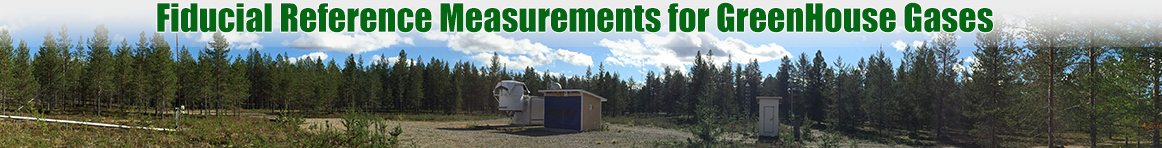
The present project helps to overcome this issue by supporting an instrument intercomparison between the alternative instruments collocated with a TCCON station and additional independent observations. In addition, it is an important contribution to the Agency’s commitment towards CEOS-WGCV. The longterm goal is to establish a set of Fiducial Reference Measurements (FRM) for GHGs for, and together with the GHG community, supporting the climate change science.